Topographical Surveys
Topographical or land surveys often provide the start point for a project so it pays to get it right first time. The correct professional survey approach will ensure correct dimensional control and minimise associated risks.
At Eyes on Drainage we can provide architects, developers and contractors with accurate drawings of their site or land and pride ourselves on being able to deliver an accurate high quality drawing to meet our client’s exact needs and requirements.
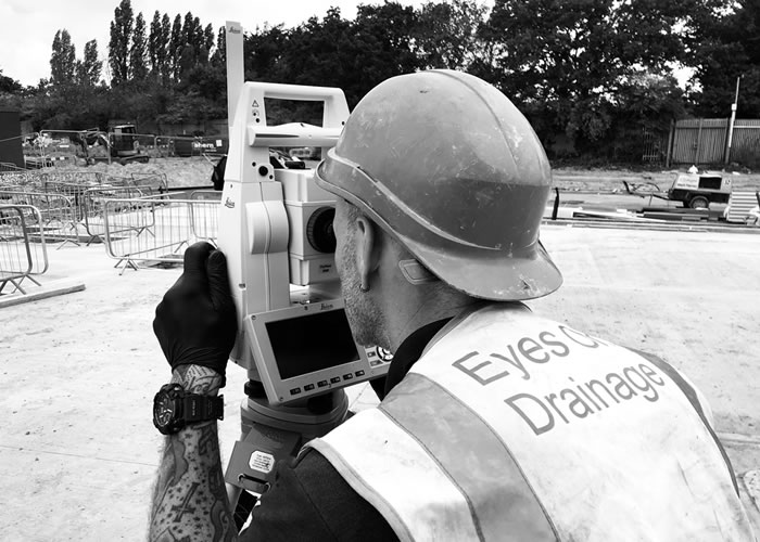
Using the latest fully robotic theodolite (Trimble S6) Total stations and Trimble R4 / R8 GNSS System (GPS) our our experienced surveyors will carry out a basic topographic survey picking up sufficient detail to allow the utility information to be orientated to the ground. Items such as kerb lines, building outlines, and other prominent “hard” features are collected.
The level of the topographic survey can be fully customised according to our client’s requirements.
Data Collection
The data collected is then processed using Korec’s Geosite software and then imported to AutoCAD 2007/2010 for final editing and presentation. If a drawing is provided by the client then the results of the utility survey will be integrated in to the original topographical survey if required.
The Drawings
The drawing, given in either two-dimensional or 3 dimensional form, provides the precise location of static features such as buildings, kerb lines, fences, trees, street furniture and service covers. This is combined with height levels and/or contours to aid in design and development.
All features are shown to a level of detail and scale appropriate to the individual project.
Contact us Today
We can assist you with a full range of drainage services. No job too big, or small. Give us a call or please complete the contact form below and one of our team will be in touch as soon as possible.